
North America Classic Map - Standard Paper
$10.78
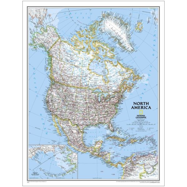
- Detailed, National Geographic Cartography.
- Bright, Easy-To-Read Color Palette.
- Premium Quality Paper Stock.
- Standard Size: 24" x 30"; Scale: 1:14,009,000.
Availability:
In stock
SKU
NG-NAmerica-CSP
Detailed, National Geographic cartography is on fine display on this attractive map of North America. Subtle border coloring makes political boundaries easy to identify. The many details include place names, bodies of water, airports, and much more.
About National Geographic Maps
National Geographic is a world leader in the production of state-of-the art political, physical and thematic maps. Through the combination of space-age technology and innovative digital mapping techniques they have acquired a vast database of geographic information. The Society's mission to create maps that "inspire people to care about and explore the world" is facilitated by their meticulous research and steadfast attention to detail. Their determined efforts have enabled them to achieve the highest level of cartographic excellence.
Write Your Own Review